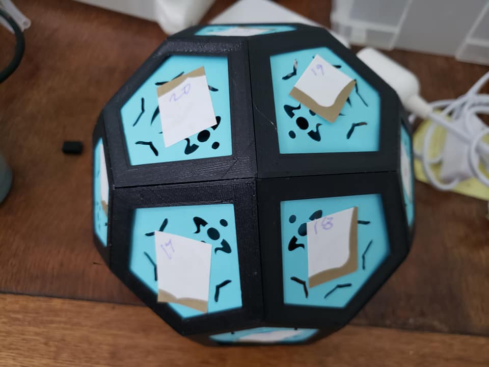
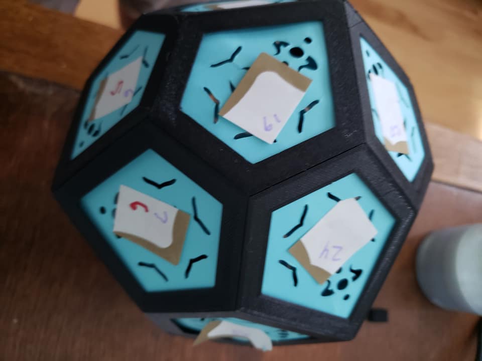
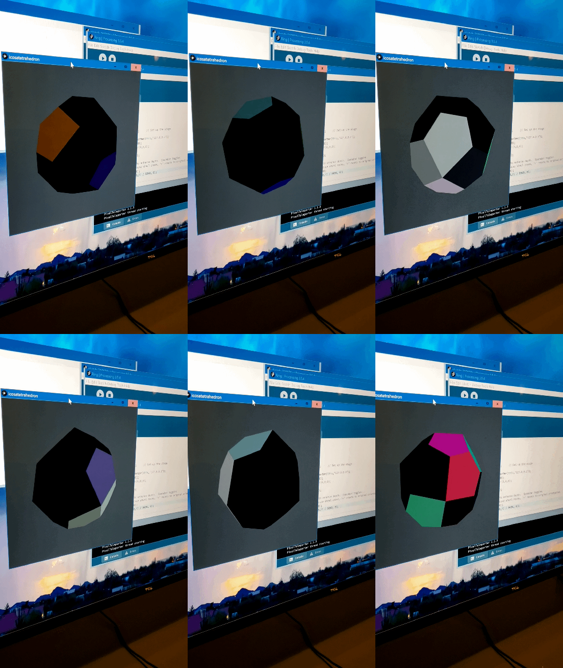
So, having played with the model for a while last night, I can see the issue more clearly, and understand your frustrations better. You’re right, and your most recent video makes the case - custom, one-off patterns are a great way to go for low pixel count devices.
Having said that, here’s a first cut at spherical mapping. First, the pattern, which circles a red dot around one axis at the center of the figure.
From the pattern’s point of view, the map is just normalized 2D x/y coordinates. (For distance calculations, you’re still going to have to use spherical or angular distance rather than pythagorean though. For only 24 pixels, that shouldn’t slow things down much.)
var frameTime = 999;
var xVal = 0;
var tolerance = 0.08;

export function beforeRender(delta) {
  frameTime += delta;
  if (frameTime > 100) {
    xVal = (xVal + .1) % 1;
    frameTime = 0;
  }
}

export function render2D(index,x,y) {
  h = 0.6667; // blue
  v = 0.2;
  if (abs(y - 0.5) <= tolerance) {
    if (abs(x - xVal) <= tolerance) {
      h = 0;  // red
      v = 1;
    }
  }
  hsv(h,1,v);
}
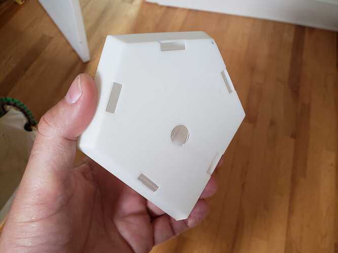
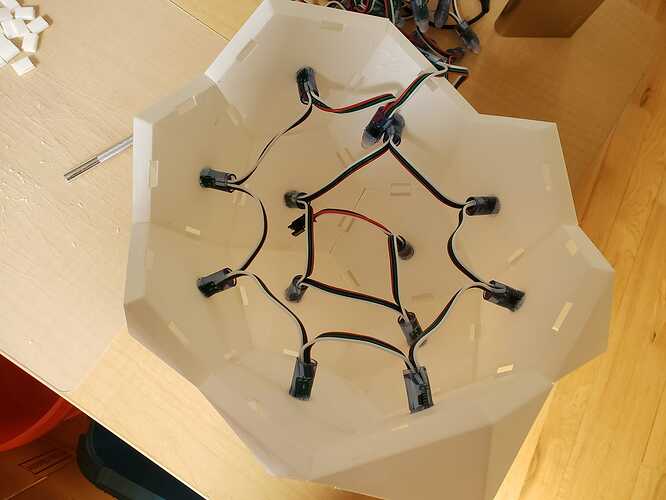
And here’s my mapping function. It includes the 3D points at the center of each face, which I then transform to azimuth/elevation angles, and give to the pixelblaze as a 2D map. (In my model arrangement, face 0 is facing towards the viewer, and the faces wind clockwise and away. )
// 2D azimuth/elevation map
function (pixelCount) {
  var coords = [[-2.6010864, 3.0588899, 371.27658  ],
[258.34598, 3.0588868, 266.66534   ],
[110.420815, 230.1553, 269.62604   ],
[-168.1251, 192.08896, 269.62604   ],
[-244.26431, -68.03337, 271.23572  ],
[-44.53873, -254.49617, 266.66534  ],
[216.40833, -254.49617, 162.05411  ],
[363.33734, -71.996475, 25.785542  ],
[303.80084, 196.81091, 82.661514   ],
[92.82195, 358.9328, 20.340021     ],
[-185.72397, 320.8665, 20.340015   ],
[-345.73846, 110.06282, 78.82567   ],
[-239.0621, -272.9436, 78.82567    ],
[8.652209, -370.18512, 27.395233   ],
[232.8638, -268.22162, -108.13883  ],
[280.9998, -33.930122, -240.31284  ],
[221.46329, 234.87724, -183.43689  ],
[-39.336555, 303.81482, -209.78938 ],
[-281.14703, 163.78499, -178.86655 ],
[-340.5363, -94.847404, -113.584366],
[-157.56064, -282.8001, -181.82722 ],
[66.650955, -180.83662, -317.3613  ],
[67.33978, 87.6523, -354.46417     ],
[-174.47067, -52.377552, -323.54135]]

  var map = []

  for (var i = 0; i < 24; i++) {
    r = Math.sqrt(coords[i][0] * coords[i][0] +
                  coords[i][1] * coords[i][1] +
                  coords[i][2] * coords[i][2])
    theta = Math.atan2(coords[i][1],coords[i][0])
    if (theta < 0) theta += 6.2831
    phi = Math.acos(coords[i][2] / r)
    map.push([theta,phi])
  }
  return map
}

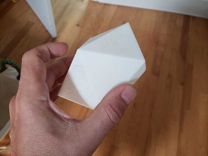
 Can you suggest some specific patterns using polar coodinates so I can look at some code? Or even 3d patterns that do rotational things outside y,x,z axis? Or suggestions for ring patterns might work?